Historic map of London (18th Century) - stock illustration
map/plan of the inner city of London from 1898

Get this image in a variety of framing options at Photos.com.
PURCHASE A LICENSE
All Royalty-Free licenses include global use rights, comprehensive protection, simple pricing with volume discounts available
kr 2,500.00
NOK
Getty ImagesHistoric Map Of London High-Res Vector Graphic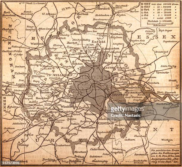 Download premium, authentic Historic map of London (18th Century) stock illustrations from Getty Images. Explore similar high-resolution stock illustrations in our expansive visual catalogue.Product #:512123896
Download premium, authentic Historic map of London (18th Century) stock illustrations from Getty Images. Explore similar high-resolution stock illustrations in our expansive visual catalogue.Product #:512123896kr2,500kr300
Getty Images
In stockDETAILS
Credit:
Creative #:
512123896
License type:
Collection:
DigitalVision Vectors
Max file size:
4021 x 3692 px (13.40 x 12.31 in) - 300 dpi - 20 MB
Upload date:
Release info:
Model and property released
Categories:
- Map,
- 19th Century,
- 19th Century Style,
- England,
- London - England,
- 1890-1899,
- The Past,
- Old-fashioned,
- Greater London,
- Obsolete,
- Retro Style,
- Thames River,
- Urban Road,
- 1898,
- Antique,
- Cartography,
- City,
- City Map,
- City Of Westminster - London,
- City of London,
- Engraved Image,
- History,
- Horizontal,
- Hyde Park - London,
- Illustration,
- Inner London,
- Inside Of,
- Kensington And Chelsea,
- Lambeth,
- Navigational Equipment,
- No People,
- Northern Europe,
- Photography,
- Regent's Park,
- River,
- Road,
- Sepia Toned,
- Southeast England,
- Street,
- Styles,
- Thoroughfare,
- UK,
- Victorian Style,
- Vignette,