Louisville, Kentucky, USA Vector Map - stock illustration
Poster Style Topographic / Road map of Louisville, KY, USA. Original map data is open data via © OpenStreetMap contributors. All maps are layered and easy to edit. Roads have editable stroke.

Get this image in a variety of framing options at Photos.com.
PURCHASE A LICENSE
All Royalty-Free licenses include global use rights, comprehensive protection, simple pricing with volume discounts available
kr 2,500.00
NOK
Getty ImagesLouisville Kentucky Usa Vector Map High-Res Vector Graphic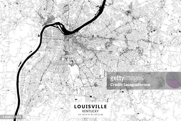 Download premium, authentic Louisville, Kentucky, USA Vector Map stock illustrations from Getty Images. Explore similar high-resolution stock illustrations in our expansive visual catalogue.Product #:1268072076
Download premium, authentic Louisville, Kentucky, USA Vector Map stock illustrations from Getty Images. Explore similar high-resolution stock illustrations in our expansive visual catalogue.Product #:1268072076kr2,500kr300
Getty Images
In stockDETAILS
Credit:
Creative #:
1268072076
License type:
Collection:
DigitalVision Vectors
Max file size:
4500 x 3000 px (15.00 x 10.00 in) - 300 dpi - 27 MB
Upload date:
Location:
United States
Release info:
No release required
Categories:
- Louisville - Kentucky,
- Kentucky,
- Black And White,
- Topography,
- Urban Skyline,
- Abstract,
- Aerial View,
- Architecture,
- Baseball - Sport,
- Cartography,
- Churchill Downs,
- City,
- City Life,
- City Map,
- City Street,
- Cityscape,
- Design,
- Diagram,
- Downtown District,
- Horizontal,
- Illustration,
- Indiana,
- Line Art,
- Map,
- Modern,
- Muhammad Ali Center,
- No People,
- North America,
- Outline,
- Physical Geography,
- Poster,
- Projection Mapping,
- River,
- Road,
- Simplicity,
- Slugger,
- Street,
- The Americas,
- Topographic Map,
- Tourism,
- Travel,
- Travel Destinations,
- US State Border,
- USA,
- Urban Road,
- Vacations,
- Vector,
- Water,