Map of the Panama Railroad, 19th Century - stock illustration
Vintage engraving of a Map of the Panama Railroad, 19th Century. The Panama Canal Railway (Spanish: Ferrocarril de Panamá) is a railway line linking the Atlantic Ocean to the Pacific Ocean in Central America.

Get this image in a variety of framing options at Photos.com.
PURCHASE A LICENSE
All Royalty-Free licenses include global use rights, comprehensive protection, simple pricing with volume discounts available
kr 2,500.00
NOK
Getty ImagesMap Of The Panama Railroad 19th Century High-Res Vector Graphic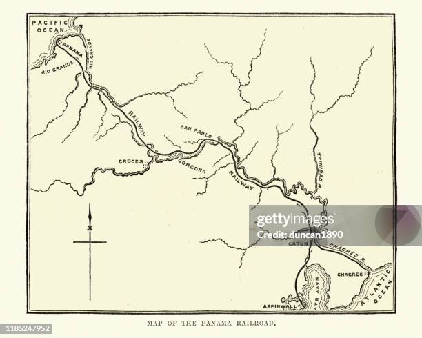 Download premium, authentic Map of the Panama Railroad, 19th Century stock illustrations from Getty Images. Explore similar high-resolution stock illustrations in our expansive visual catalogue.Product #:1185247952
Download premium, authentic Map of the Panama Railroad, 19th Century stock illustrations from Getty Images. Explore similar high-resolution stock illustrations in our expansive visual catalogue.Product #:1185247952kr2,500kr300
Getty Images
In stockDETAILS
Credit:
Creative #:
1185247952
License type:
Collection:
DigitalVision Vectors
Max file size:
5985 x 4788 px (19.95 x 15.96 in) - 300 dpi - 21 MB
Upload date:
Location:
Panama
Release info:
Property released
Categories:
- Panama Canal,
- Rail Transportation,
- Map,
- Engraving,
- Panama,
- Panama City - Panama,
- 19th Century,
- Antique,
- Archival,
- Black And White,
- Central America,
- Equipment,
- Graphic Print,
- History,
- Horizontal,
- Illustration,
- Navigational Equipment,
- Old,
- Old-fashioned,
- Railroad Track,
- Retro Style,
- Styles,
- The Americas,
- The Past,
- Thoroughfare,
- Victorian Style,
- Woodcut,