Topographic map in mountainous terrain - stock illustration
Topographic map with elevation contour lines in mountainous terrain. Public domain topographic data compiled by the U.S. Geological Survey, sampled and modified from Anchorage D-7 SE, Alaska, 2016 US Topo quadrangle, https://store.usgs.gov/product/517497 and http://ims.er.usgs.gov/gda_services/download?item_id=8290614.

Get this image in a variety of framing options at Photos.com.
PURCHASE A LICENSE
All Royalty-Free licenses include global use rights, comprehensive protection, simple pricing with volume discounts available
kr 2,500.00
NOK
Getty ImagesTopographic Map In Mountainous Terrain High-Res Vector Graphic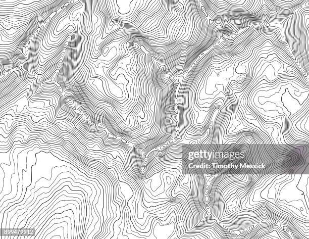 Download premium, authentic Topographic map in mountainous terrain stock illustrations from Getty Images. Explore similar high-resolution stock illustrations in our expansive visual catalogue.Product #:899479912
Download premium, authentic Topographic map in mountainous terrain stock illustrations from Getty Images. Explore similar high-resolution stock illustrations in our expansive visual catalogue.Product #:899479912kr2,500kr300
Getty Images
In stockDETAILS
Credit:
Creative #:
899479912
License type:
Collection:
DigitalVision Vectors
Max file size:
3300 x 2550 px (11.00 x 8.50 in) - 300 dpi - 5 MB
Upload date:
Location:
United States
Release info:
No release required
Categories: