West Indies map of 1869 - stock illustration
Cornell's Grammar School Geography By S.S. Cornell - New York 1869

Get this image in a variety of framing options at Photos.com.
PURCHASE A LICENSE
All Royalty-Free licenses include global use rights, comprehensive protection, simple pricing with volume discounts available
kr 2,500.00
NOK
Getty ImagesWest Indies Map Of 1869 High-Res Vector Graphic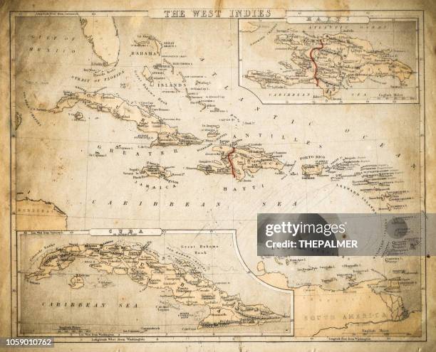 Download premium, authentic West Indies map of 1869 stock illustrations from Getty Images. Explore similar high-resolution stock illustrations in our expansive visual catalogue.Product #:1059010762
Download premium, authentic West Indies map of 1869 stock illustrations from Getty Images. Explore similar high-resolution stock illustrations in our expansive visual catalogue.Product #:1059010762kr2,500kr300
Getty Images
In stockDETAILS
Credit:
Creative #:
1059010762
License type:
Collection:
DigitalVision Vectors
Max file size:
6351 x 5133 px (21.17 x 17.11 in) - 300 dpi - 50 MB
Upload date:
Location:
United States
Release info:
Property released
Categories:
- Map Illustrations
- Old-fashioned Illustrations
- Old
- Retro Style Illustrations
- Bahamas Illustrations
- Caribbean Illustrations
- Dominican Republic Illustrations
- Antique Illustrations
- Bermuda Illustrations
- Haiti Illustrations
- Jamaica Illustrations
- West Indies Illustrations
- Cuba Illustrations
- Honduras Illustrations
- Illustration Illustrations
- Physical Geography Illustrations
- Sea Illustrations
- Grunge Image Technique Illustrations
- Nicaragua Illustrations
- Textured
- World Map Illustrations
- Cartography Illustrations
- Central America Illustrations
- Globe - Navigational Equipment Illustrations
- Horizontal Illustrations
- North America Illustrations
- Panama Illustrations
- Paper Illustrations
- Patina Illustrations
- Puerto Rico Illustrations
- Stained Illustrations