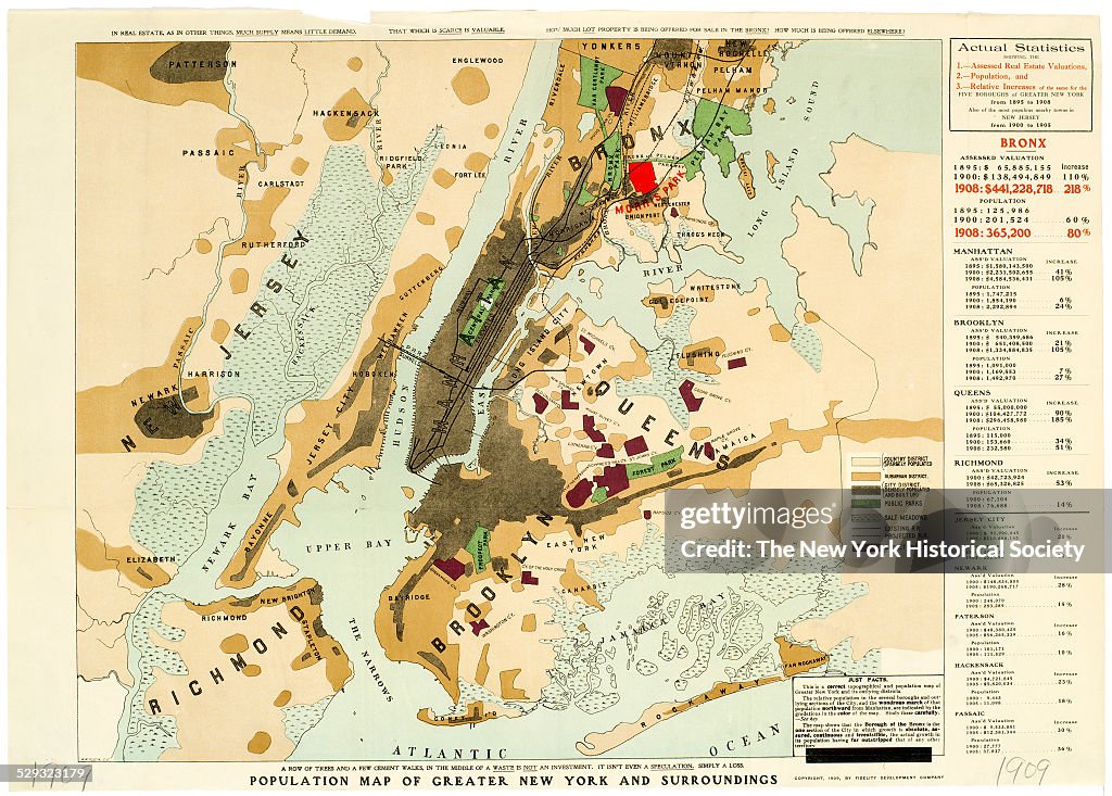
Population map of greater New York and surroundings
Includes 'Actual Statistics showing the Assessed Real Estate Valuations, population, and relative Increases of the five Boroughs of Greater New York from 1895 to 1908, 1909. Also of the most populous nearby towns in New Jersey from 1900 to 1905' ; also shows public parks, salt meadows, projected railroad, and cemeteries. Black and color ink on paper by W.W. Klein. (Photo by The New York Historical Society/Getty Images)

PURCHASE A LICENSE
How can I use this image?
kr 4,000.00
NOK
Please note: images depicting historical events may contain themes, or have descriptions, that do not reflect current understanding. They are provided in a historical context. Learn more.
DETAILS
Restrictions:
Contact your local office for all commercial or promotional uses.
Credit:
Editorial #:
529323179
Collection:
Archive Photos
Date created:
January 01, 1909
Upload date:
License type:
Release info:
Not released. More information
Source:
Archive Photos
Barcode:
ARC0001573_456
Object name:
87230d_Population1909.jpg
Max file size:
5031 x 3600 px (16.77 x 12.00 in) - 300 dpi - 15 MB