silice of topographic map - geographic information system stock pictures, royalty-free photos & imagesSilice of topographic mapTopographic Map, Geology, Map
using a rover to map points - geographic information system stock pictures, royalty-free photos & imagesUsing a Rover to Map PointsMap, Surveyor, People
collecting data from the rover - geographic information system stock pictures, royalty-free photos & imagesCollecting Data From the RoverConstruction Site, Surveyor, Construction Industry
illustrative map of a fictional city in dark tones. - geographic information system stock pictures, royalty-free photos & imagesIllustrative map of a fictional city in dark tones.Map, City Map, Blueprint
boise, idaho, usa vector map - geographic information system stock illustrationsBoise, Idaho, USA Vector MapMap, Idaho, Topography
using gnss equipment for accuracy - geographic information system stock pictures, royalty-free photos & imagesUsing GNSS Equipment for AccuracySurveyor, Global Positioning System, UK
aerial view of urban residential area with construction site - geographic information system stock pictures, royalty-free photos & imagesAerial View of Urban Residential Area with Construction SiteMap, Three Dimensional, Building Exterior
richmond, virginia, usa vector map - geographic information system stock illustrationsRichmond, Virginia, USA Vector MapMap, Virginia - US State, Richmond - Virginia
illustrative map of a fictional city in dark tones. - geographic information system stock pictures, royalty-free photos & imagesIllustrative map of a fictional city in dark tones.Map, City Map, Dark
female surveyor using gps equipment at construction site - geographic information system stock pictures, royalty-free photos & imagesFemale Surveyor Using GPS Equipment At Construction SiteConstruction Site, New Zealand, Examining
spokane, washington, usa vector map - geographic information system stock illustrationsSpokane, Washington, USA Vector MapMap, Topographic Map, Spokane
boise, idaho, usa vector map - geographic information system stock illustrationsBoise, Idaho, USA Vector MapMap, Idaho, Topography
handdrawn urban map depicting city planning and architectural layout - geographic information system stock illustrationsHanddrawn Urban Map Depicting City Planning and Architectural LayoutMap, Blueprint, City Map
topeka, kansas, usa vector map - geographic information system stock illustrationsTopeka, Kansas, USA Vector MapTopeka, Map, Kansas
digital twin topographic map and geospatial big data analytics - geographic information system stock pictures, royalty-free photos & imagesDigital Twin Topographic Map and Geospatial Big Data AnalyticsLidar - Sensor, Transportation, Hologram
lubbock, texas, usa vector map - geographic information system stock illustrationsLubbock, Texas, USA Vector MapMap, Texas, Topographic Map
york, pennsylvania, usa vector map - geographic information system stock illustrationsYork, Pennsylvania, USA Vector MapMap, Pennsylvania, Data
portrait of male engineer with digital tablet at building site - geographic information system stock pictures, royalty-free photos & imagesPortrait of male engineer with digital tablet at building siteConstruction Site, Portrait, Construction Industry
killeen, texas, usa vector map - geographic information system stock illustrationsKilleen, Texas, USA Vector MapMap, City Map, Editable Stroke
pittsburgh, pennsylvania, usa vector map - geographic information system stock illustrationsPittsburgh, Pennsylvania, USA Vector MapPittsburgh, Map, River
aerial view of a sprawling urban landscape with curvature effect - geographic information system stock pictures, royalty-free photos & imagesAerial View of a Sprawling Urban Landscape with Curvature Effect
virtual 3d terrain with location pin - geographic information system stock pictures, royalty-free photos & imagesVirtual 3D Terrain with Location PinThree Dimensional, Map
arlington, virginia, usa vector map - geographic information system stock illustrationsArlington, Virginia, USA Vector MapMap, Washington DC, Water
salt lake city, utah, usa vector map - geographic information system stock illustrationsSalt Lake City, Utah, USA Vector MapMap, Utah, Salt Lake City - Utah
salt lake city, utah, usa vector map - geographic information system stock illustrationsSalt Lake City, Utah, USA Vector MapSalt Lake City - Utah, Map, Data
rapid city, south dakota, usa vector map - geographic information system stock illustrationsRapid City, South Dakota, USA Vector MapMap
Miami, Riverside Center, geographic information system zoning map.Miami, Riverside Center, geographic information system zoning mapMap
aerial view of agricultural fields and winding rivers in a rural landscape - geographic information system stock pictures, royalty-free photos & imagesAerial View of Agricultural Fields and Winding Rivers in a Rural LandscapeLand
norfolk, virginia, usa vector map - geographic information system stock illustrationsNorfolk, Virginia, USA Vector MapNorfolk - Virginia, Map, Chesapeake Bay
chesapeake, virginia, usa vector map - geographic information system stock illustrationsChesapeake, Virginia, USA Vector MapVirginia - US State, Global Positioning System, City
virginia beach, virginia, usa vector map - geographic information system stock illustrationsVirginia Beach, Virginia, USA Vector MapMap, Virginia Beach, Longitude
illustrative map of a fictional city in dark tones. - geographic information system stock pictures, royalty-free photos & imagesIllustrative map of a fictional city in dark tones.Map, Aerial View, Dark
sioux falls, south dakota, usa vector map - geographic information system stock illustrationsSioux Falls, South Dakota, USA Vector MapSioux Falls, South Dakota, Map
surveying the flood plains - geographic information system stock pictures, royalty-free photos & imagesSurveying the Flood PlainsSurveyor, UK, Quality Control
english suburbs - geographic information system stock pictures, royalty-free photos & imagesEnglish suburbs
In this handout from the U.S. Coast Guard, personnel in the Geographic Information System lab work to create informational maps, graphics and charts...Gulf Coast Struggles With Oil Spill And Its Economic CostsMap, Deepwater Horizon
map thin line and glyph solid icon. editable stroke and perfect pixel isolated on transparent background - geographic information system stock illustrationsMap thin line and glyph solid icon. Editable stroke and perfect pixel isolated on transparent backgroundMap, Locator Map
green bay, wisconsin, usa vector map - geographic information system stock illustrationsGreen Bay, Wisconsin, USA Vector MapGreen Bay, Wisconsin, Map
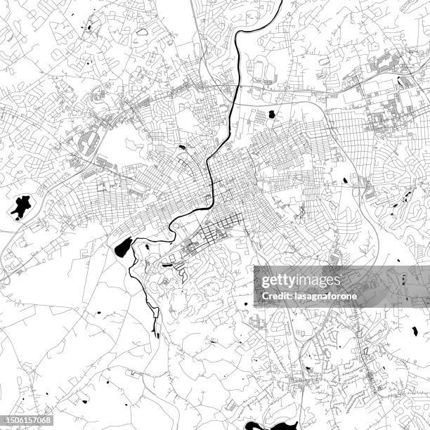
lancaster, pennsylvania, usa vector map - geographic information system stock illustrationsLancaster, Pennsylvania, USA Vector MapPennsylvania, Map, Lancaster - Pennsylvania
bend, oregon, usa vector map - geographic information system stock illustrationsBend, Oregon, USA Vector MapTopographic Map, Map, Oregon - US State
a woman on vacation uses her smart phone for directions on foot-online map app - geographic information system stock pictures, royalty-free photos & imagesA woman on vacation uses her smart phone for directions on foot-Online map appInformation Booth, Planning
quad cities, iowa / illinois usa vector map - geographic information system stock illustrationsQuad Cities, Iowa / Illinois USA Vector MapRiver, Map
ghent, belgium vector map - geographic information system stock illustrationsGhent, Belgium Vector MapMap, Flanders - Belgium
discussing their findings - geographic information system stock pictures, royalty-free photos & imagesDiscussing Their FindingsSurveyor, People, UK
Code-based Geographic Information Systems plate are seen installed on a Chinar tree inside the Mughal-era Shalimar Garden in Srinagar....QR code-based Geographic Information Systems (GIS) plate are
map glyph solid icon. solid icon that can be applied anywhere, simple, pixel perfect and modern style. - geographic information system stock illustrationsMap glyph solid icon. Solid icon that can be applied anywhere, simple, pixel perfect and modern style.
a simple line drawing of a theodolite - geographic information system stock illustrationsA simple line drawing of a TheodoliteSurveyor, Engineering, Engineer
madison, wisconsin, usa vector map - geographic information system stock illustrationsMadison, Wisconsin, USA Vector MapMadison - Wisconsin, Map, Wisconsin
spokane, washington, usa vector map - geographic information system stock illustrationsSpokane, Washington, USA Vector MapCity Map, Spokane, Topography
lubbock, texas, usa vector map - geographic information system stock illustrationsLubbock, Texas, USA Vector MapMap, Texas, Lubbock
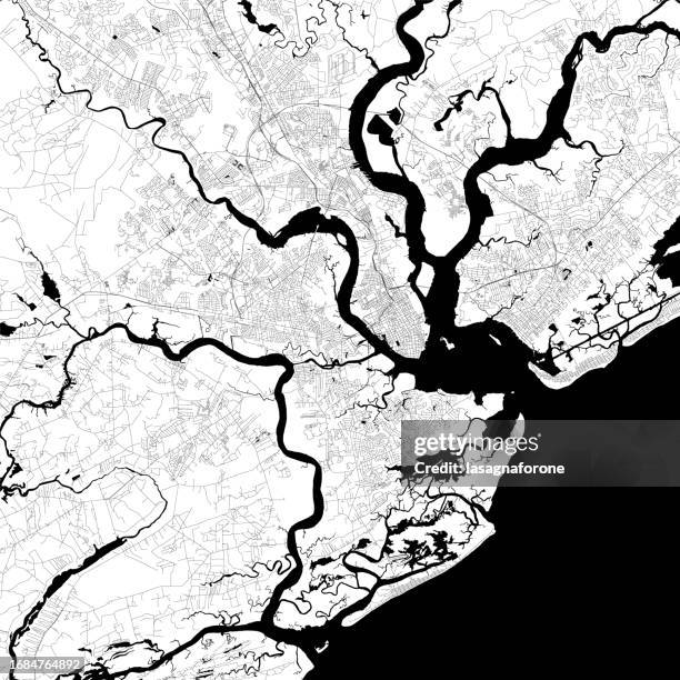
charleston, south carolina, usa vector map - geographic information system stock illustrationsCharleston, South Carolina, USA Vector MapCharleston - South Carolina, South Carolina, Map
surveying and mapping energy services with site inspections and surveying efficiency through automation. team surveyors in a site survey to collect, analyze, and manage geographic data via field inspection software. - geographic information system stock pictures, royalty-free photos & imagesSurveying and Mapping Energy Services with Site Inspections and Surveying Efficiency Through Automation. Team surveyors in a site survey to collect, analyze, and manage geographic data via field inspection software.Fuel and Power Generation, Environmental Social Corporate Governance - ESG, Planning
allentown, pennsylvania, usa vector map - geographic information system stock illustrationsAllentown, Pennsylvania, USA Vector MapAllentown - Pennsylvania, Plan - Document, Pennsylvania
pittsburgh, pennsylvania, usa vector map - geographic information system stock illustrationsPittsburgh, Pennsylvania, USA Vector MapPittsburgh, Map, City Map
canton, ohio, usa vector map - geographic information system stock illustrationsCanton, Ohio, USA Vector MapOhio
two woman discuss a walking route using an online map application - geographic information system stock pictures, royalty-free photos & imagesTwo woman discuss a walking route using an online map applicationTourism, Lost, Tourist
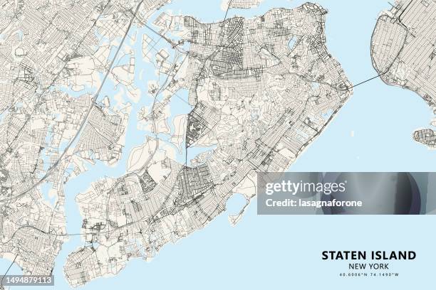
staten island, new york, usa vector map - geographic information system stock illustrationsStaten Island, New York, USA Vector MapMap, Staten Island, New York City
fayetteville, arkansas vector map - geographic information system stock illustrationsFayetteville, Arkansas Vector MapMap
little rock, arkansas vector map - geographic information system stock illustrationsLittle Rock, Arkansas Vector MapLittle Rock - Arkansas, Arkansas, Map
antwerp, belgium vector map - geographic information system stock illustrationsAntwerp, Belgium Vector MapAntwerp Province - Belgium, City Map, Antwerp City - Belgium